


Ingroinfo Software Solutions Pvt Ltd is a OEM for various IT products such as Smart Pipe 360 SAAS (includes Web based & Mobile Smart Pipe 360).
Ingroinfo Software Solutions Pvt Ltd is a customer driven enterprise information technology and software solutions company with focus on data driven web applications, mobile apps for enterprises, Mapping/GIS (Geographical Information System) based services and cloud based solutions.
It provides a visual representation of each module for better understanding and analysis.
Smart Assets Management enables efficient tracking, monitoring, and optimization of assets throughout their lifecycle.
Smart Indent Management ensures efficient handling of official orders and requisitions for goods, streamlining procurement and inventory management.
Smart Complaint streamlines the process of logging, tracking, and resolving complaints to enhance customer satisfaction and operational efficiency.
Smart Employee Management streamlines attendance, task assignments, and performance tracking for efficient workforce management.
Smart GIS maps and manages geographically laid pipelines with precise GIS location data for efficient visualization and control.
Smart Pump Management ensures pumps are properly maintained and fully functional for optimal performance.
Smart Work Order Management streamlines the creation, tracking, and completion of work orders to enhance operational efficiency.
Smart Site Management involves tracking attendance, managing assigned tasks, and monitoring guest entries for effective site operations.
Smart Contact Management streamlines communication by organizing and managing contact information efficiently.
Smart Leakage Deduction Management identifies and manages pipeline leaks efficiently using advanced detection technologies.
Smart Pipe Management ensures that pipes are properly maintained and fully functional for optimal performance.
Smart Approvals facilitates the efficient and seamless process of granting approvals, ensuring that decisions are timely and aligned with organizational standards.
Smart Safety Hub records visitor details and stores emergency information for employees to ensure safety and quick response in critical situations.
Smart Vision (CCTV) offers advanced monitoring and surveillance through intelligent camera systems.
Smart Stock Management efficiently tracks and manages inventory to ensure optimal stock levels
Smart Vehicle Management enables real-time vehicle tracking and data feed integration from trackers for improved fleet monitoring and control.
Smart Schedule optimizes the planning and management of tasks, appointments, and resources to ensure efficient time utilization.
Above module helps companies plan, evaluate, monitor and maintain their assets for the best outcomes.
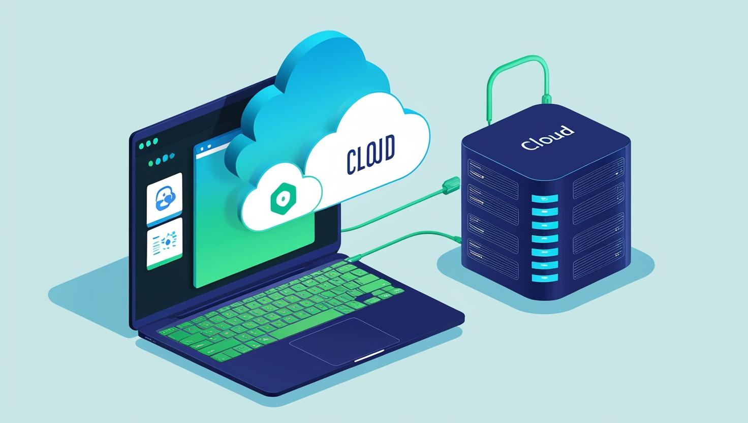
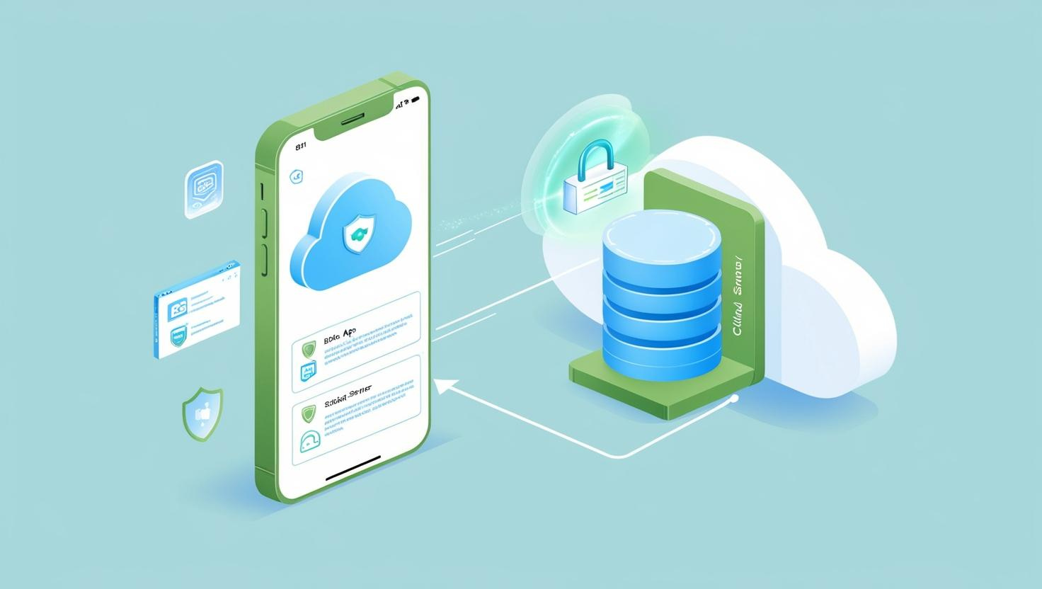
Effective pipeline planning and management require appropriate visualization of the pipeline networks through mapping. With the help of GIS data, we enable companies to take the right course of action for operational excellence of their pipeline-related requirements in water as well as oil and gas domains. We implement the latest DGPS tools to accumulate information and generate accurate GIS maps of available resources, assets, pipeline networks, etc. to equip pipeline-based companies with an accurate digital database and effective geospatial maps.

With a single operating system, you eliminate unnecessary spending on redundant hardware, so you can invest in acquiring what matters most—the real-time information required for optimal pipeline management.

Early detection of damage leads to the prevention of dangerous structural faults on critical assets, reducing intervention times and repair costs

Offering multiple detector applications, Smart Pipe 360 pipeline monitoring provides the flexibility to customize a monitoring solution that satisfies the specific demands of your pipeline environment.

Water, Gas & Oil are some of the most crucial utilities that require appropriate management and distribution. A reliable GIS database provides a pool of vital information for devising and implementing effective strategies for optimizing Water, gas, and oil-related operations. Our GIS analytics are utilized for water, Gas & Oil supply mapping, managing assets, etc. This can help companies allocate resources appropriately to improve water supply coverage.
One of our noteworthy projects includes a DGPS survey and utility mapping of the water distribution network for an environment improvement program to develop a single-point-access system for the network for efficient performance analysis.
Read MoreIn the satellite-based monitoring system, High-resolution satellite imagery (30 cm), and ultra-high-resolution imagery (15 cm HD) are used to compile environmental maps (geological and technical features) to determine the effects and risks in construction, leakage, and maintenance of pipelines on environmental components such as water bodies, plants, soil, etc., and pollution. The map which shows the possible ways of oil accumulation in case of an oil spill can be also compiled. Remote sensing uses these compiled maps to monitor the condition of the pipeline.
The demand for gas has grown over the years. Such a requirement has led to the increased implementation of progressive technologies to ensure that the distribution process is flawless. We utilize adaptive GIS-based technology to map distribution networks, monitor assets, etc. to improve operational efficiency for the distribution of gas and utilities. Data drives progress and we excel in helping you make the most of it.

Smart Pipe 360 uses GIS technology to its full potential by integrating it with the gas pipeline network to increase the efficiency of the process. We work on gas and land-based GIS survey and mapping and also on the implementation of the IT application.

The oil demand has increased significantly over the years, driving the need for advanced technologies to ensure a seamless distribution process. We leverage adaptive GIS-based technology to map distribution networks, monitor assets, and enhance operational efficiency in oil distribution. Data fuels progress, and we excel in helping you maximize its potential.
One of our noteworthy projects includes a DGPS survey and utility mapping of the water distribution network for an environment improvement program to develop a single-point-access system to the network for efficient performance analysis.
Read MoreOil spill detection based on SAR imagery includes detection and feature extraction of all dark areas. Features are used as inputs for the classification of oil spills or look-like areas and can distinguish oil spills from other dark spots. UV and Infrared sensors can be mounted on aircraft for oil spill surveillance, as the oil absorbs solar radiation and emits thermal energy. SAR imagery with aircraft surveillance is the most cost-effective method to monitor pipelines and leakage detection.
Our pipeline network mapping techniques for water, oil, and gas networks include utilizing effective geospatial methods to identify land characteristics, determine obstacles in the land feature, and find Ground Control Points (GCPs). We have worked with reputed companies to conduct GIS mapping of pipeline networks via the utilization of the DGPS tracking system, conduct route surveys and analysis for the movement of large vehicles, create a web-based land management tool, etc. View a case study here.

Just because a pipeline is old, doesn’t mean it needs to be replaced. Most pipe in the ground today is still in good condition. Structural monitoring can identify a small fraction of problematic pipes. Combining regular electromagnetic inspections with 24/7 monitoring is the most reliable way to safely extend the life of a PCCP pipeline

Stay ahead of failures in prestressed concrete cylinder pipe (PCCP) with continuous monitoring. Smart Pipe 360 can alert utilities to wire breaks in near real-time. An increasing number of wire breaks signals that the pipe is weakening. This advanced warning system gives utilities the power to act before a pipe fails.

Good data is the basis for smart decision-making. Monitoring the rate of wire breaks over time creates a clearer picture of pipeline degradation. This long-term view of structural health helps utilities predict a pipe’s remaining useful life with much greater confidence.

In-line inspection data is essential for managing pipeline integrity and reliability. NIMA Report provides clear, intuitive access to asset conditions, allowing operators to view needed information anytime, anywhere. It also enables combined visualization of multiple inspection datasets.

Accurately pins locations, ensuring precise mapping for all pinned points.
Enable seamless access to the software from anywhere in the field, ensuring flexibility and convenience.
Tracks all vehicles in the field with installed tracking devices, displaying real-time tracking details on the software.
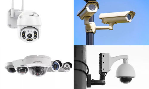
Utilizes a variety of surveillance devices tailored to specific field requirements for enhanced monitoring.
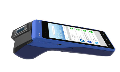
Records attendance for workers in the field, ensuring an accurate count of on-site personnel.
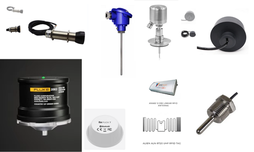
Monitors pipes with multiple sensors configured based on the specific pipe type used in the field.